Off to the Gables

Biking Day 3:
33.28 miles, 1709 ft ascent, 5 hrs. 21 min.
Daily Drena:
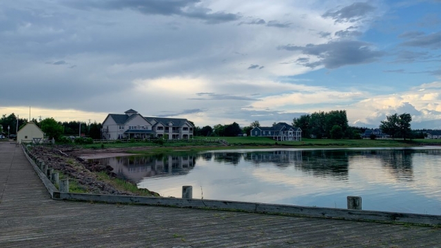
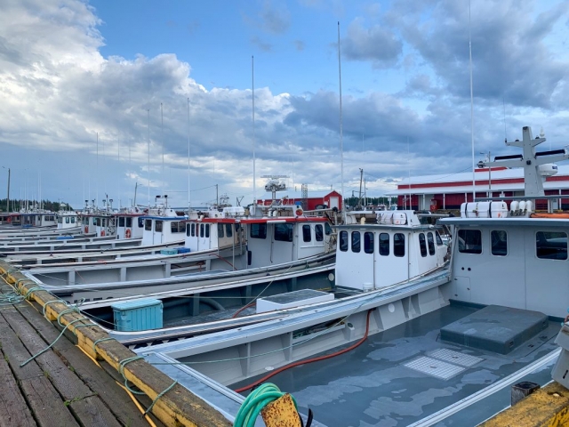
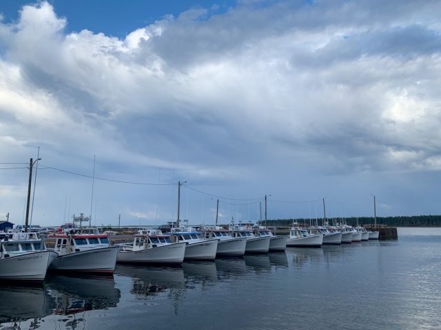
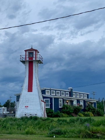
Sunsets

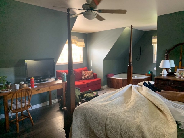
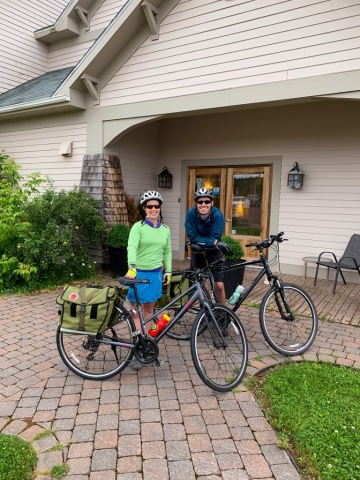
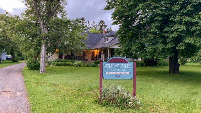
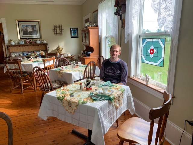
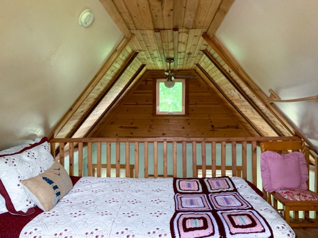
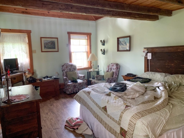
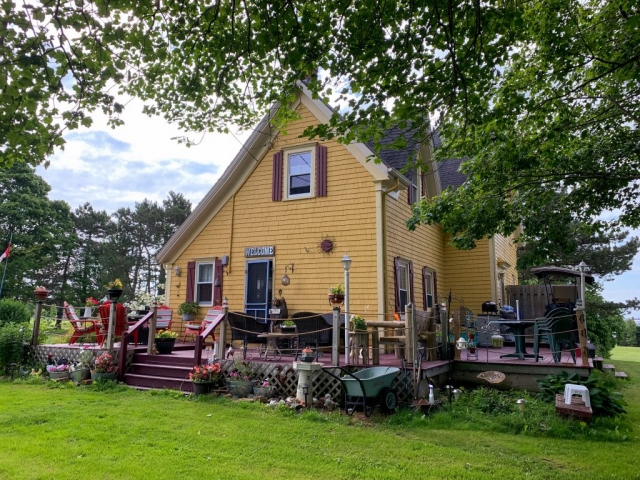
Another early morning, but we slept well, having passed out after yesterday’s ride. Breakfast was down in the common room at a table of 10 in the country style, where we met the other guests staying at the B&B. They were all Canadians staying a number of nights at the B&B. Breakfast was served by our very chatty hostess and her husband who made us pancakes. We each got three very cute little pancakes with some delicious raspberry sauce, along with a slice of kiwi and orange. They were promptly gone in less than a minute. Thankfully my eyes alighted on some cereal in the breakfast nook and after three bowls I was at least partially satiated, so we headed back to Summerside to start the day.

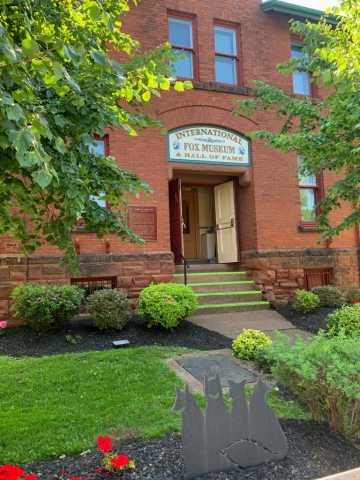
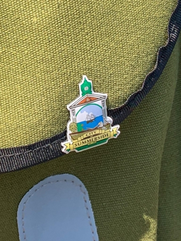
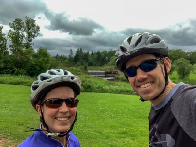
Backtracking our route from yesterday, we went back into town as we had read about a fox museum, so wanted to check it out. It was housed in the old armory building from World War II, which was fairly small, but full of information on the black and silver fox trade, which started on the island. It only lasted for maybe two dozen years before the market became inundated and crashed, but an interesting story nonetheless. As we came out of the museum and were getting ready to head off again, we were approached by some older ladies all wearing red hats. Apparently, there was a scavenger hunt going on and they were looking for some non-islanders to give some pins to as part of it. So, we were presented pins by two of the ladies and had our photos taken with them then were off on the Confederation Trail once more.

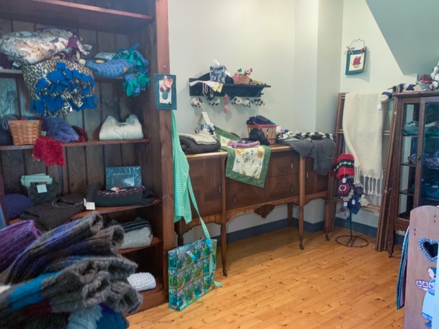
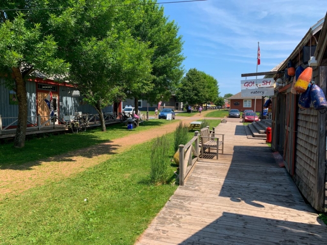
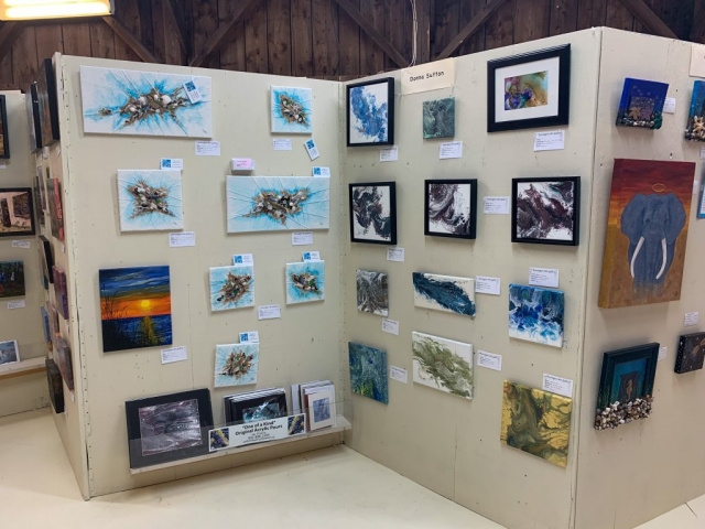
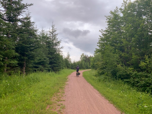
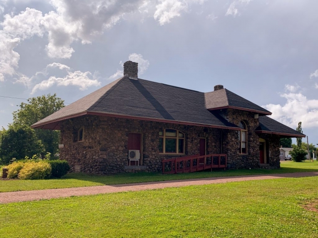
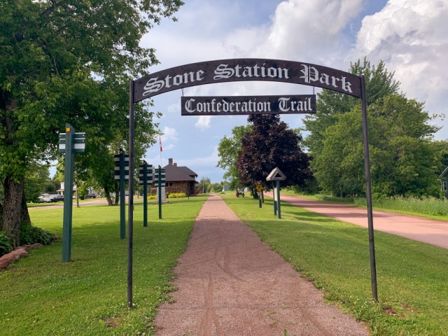
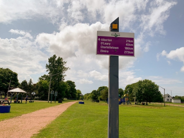
Our next stop down the trail was just before Kensington where an ice cream shop popped up and obviously needed some taste testing. After some soft serve cones and some chicken fingers to shore up the ol’ bellies, we moved onto Kensington proper. At the old train station, they have converted the area into a cultural and shopping hub of cute little restaurants, a local co-op artists gallery, and a souvenir store. A very clever usage of the old train station and by far the best little town we’ve been through in terms of interest.

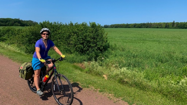
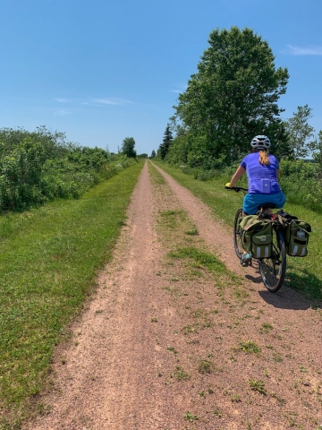
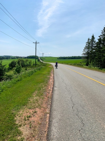
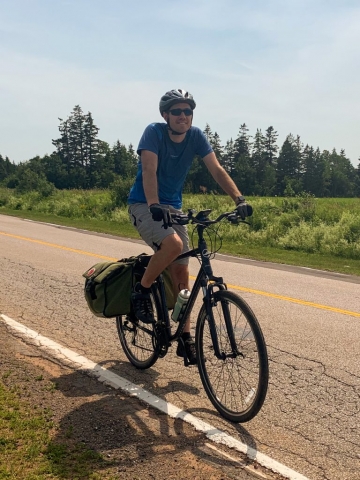
Back on the trail, we headed through the now hilly landscapes to Emerald Junction, then broke off and headed up the roads to the Cavendish area.

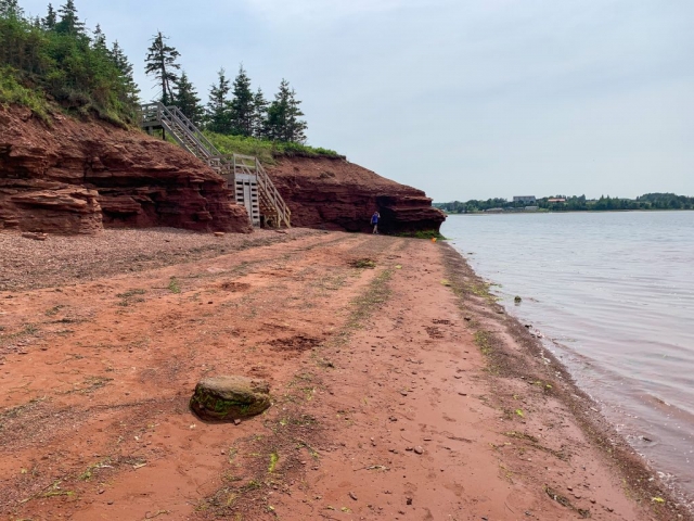
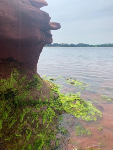
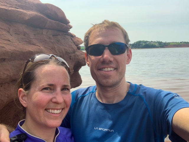
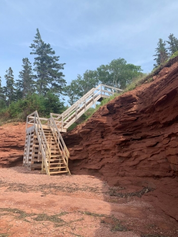
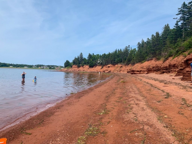
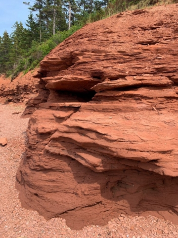
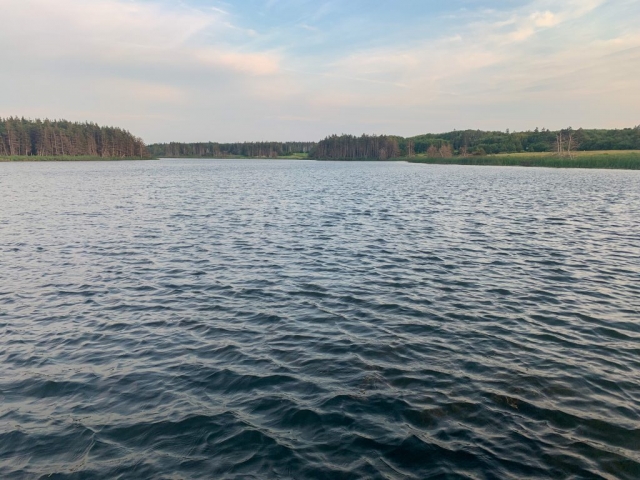
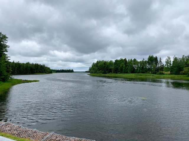
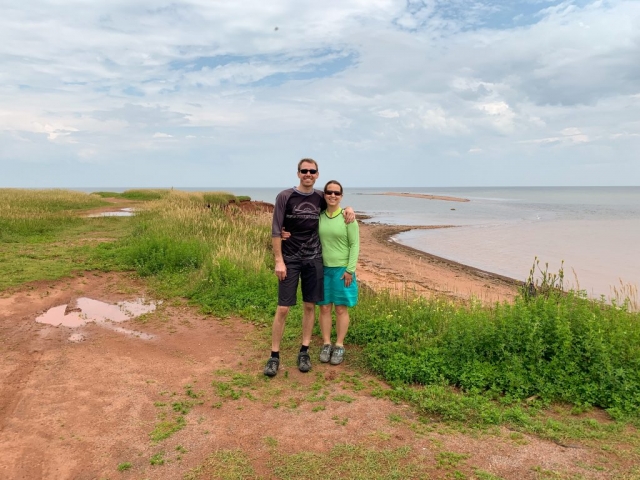
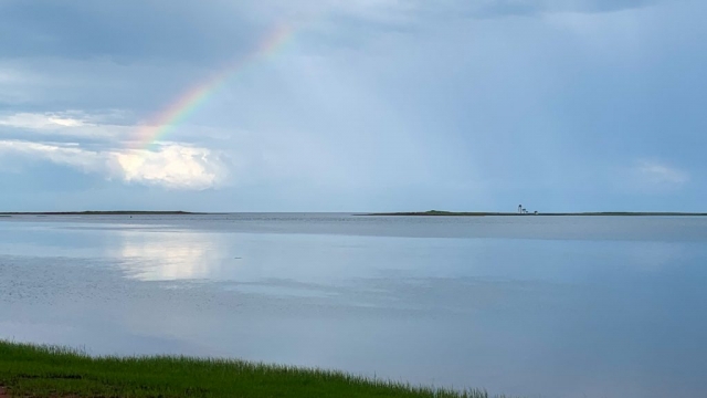
After a hot slog up and down the hilly roads, we stopped just past the Stanley Bridge area, at “The Swimming Rock”, where locals have for years relaxed, picnicked, and swum in the waters of the protected bay. The red rock of the cliffs and the irish moss made for some pretty photos.

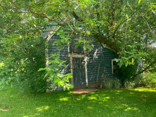
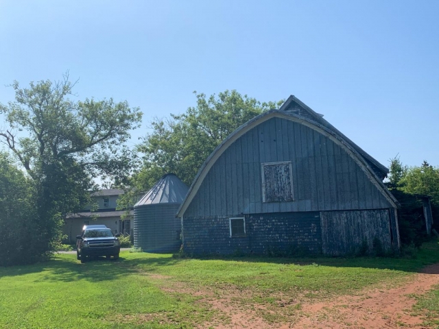
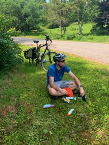
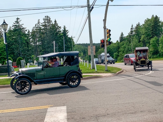
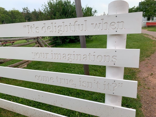
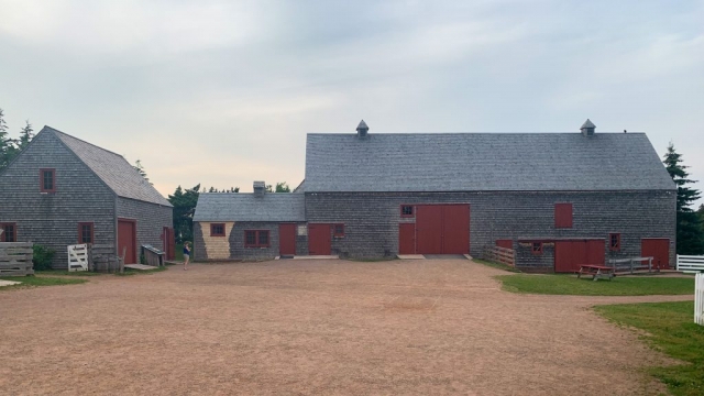
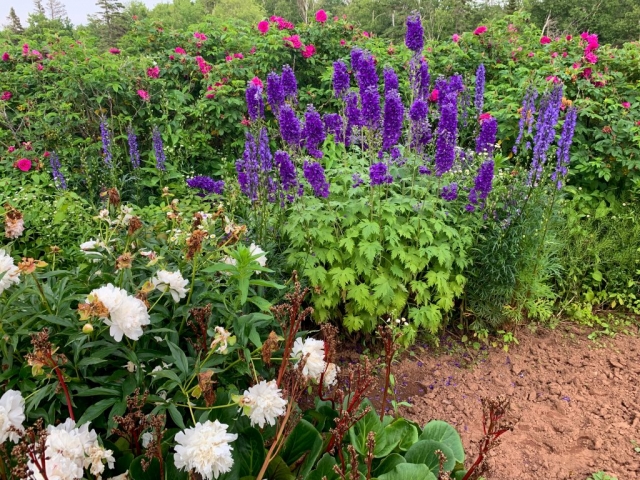
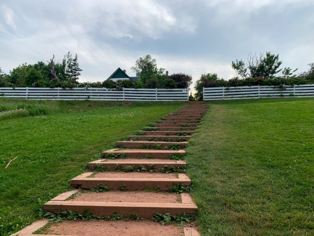
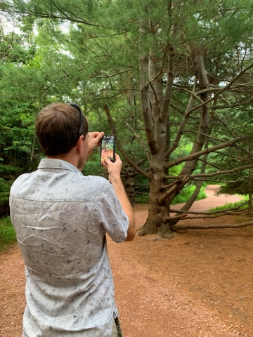
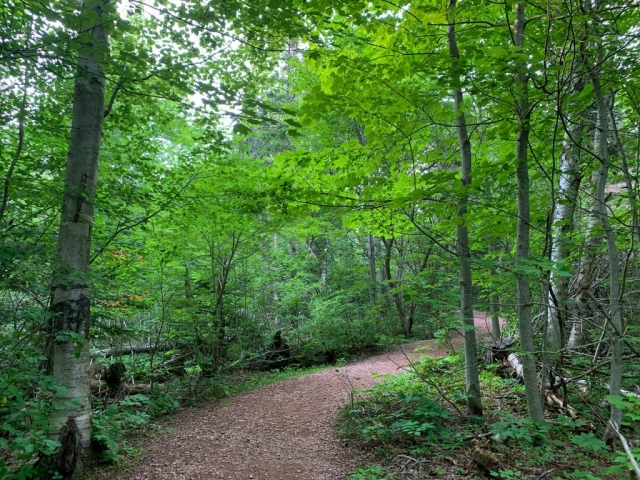
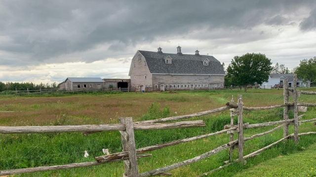
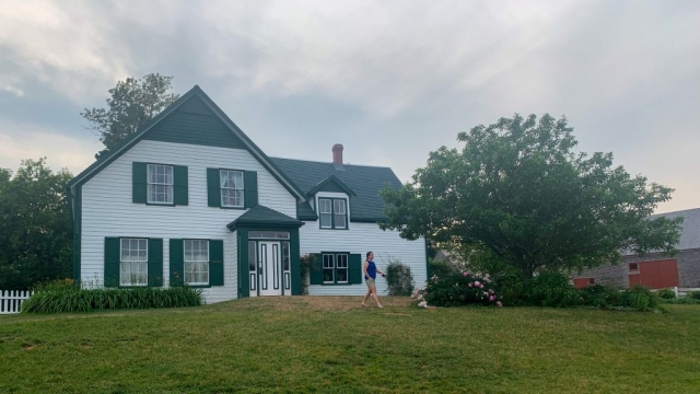
By this time, we were quite tired so made the last final push into Cavendish proper. As the roads became busier, cars began passing us faster and closer, and we started seeing amusement parks and shopping malls, I already knew Cavendish wasn’t for me. One thing of interesting note though was a number of old Model Ts that folks were driving around town. I’m not sure what the occasion was, but it was neat to see them driving about. After the familiar routine of shower, nap, and power up, we grabbed a bite to eat across the way and then decided to walk on over to the Green Gables Heritage Place, which is the reason everyone comes over this way. It had closed around 5pm, so we had the whole site mostly to ourselves, so wandered around and took a few photos. The grounds were quite beautiful and consisted of some barns, the original house (restored), a number of gardens, and a few walking paths.

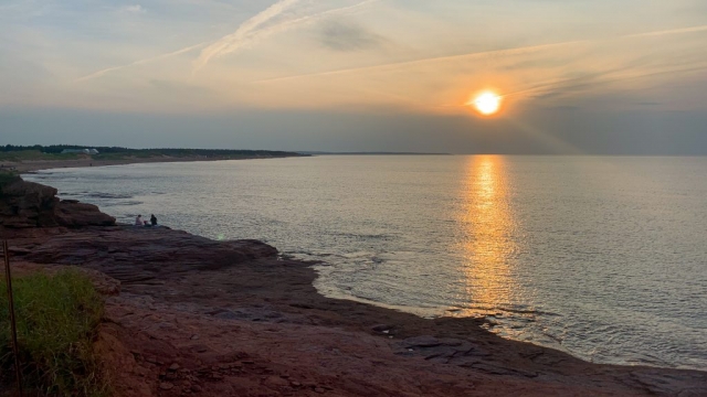
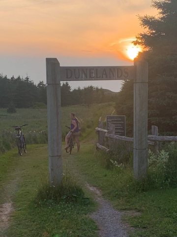
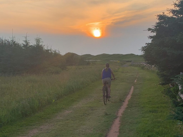
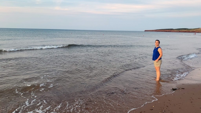
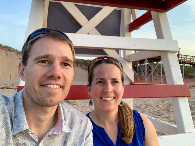
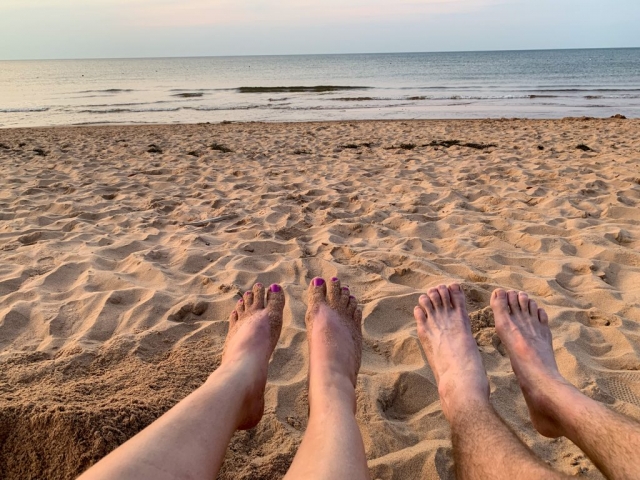
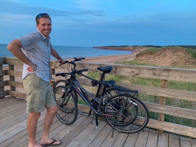
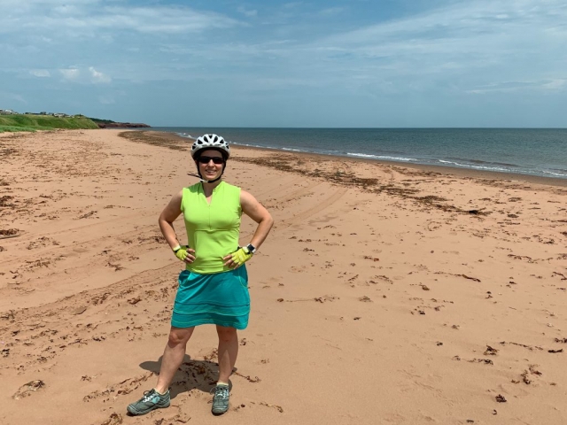
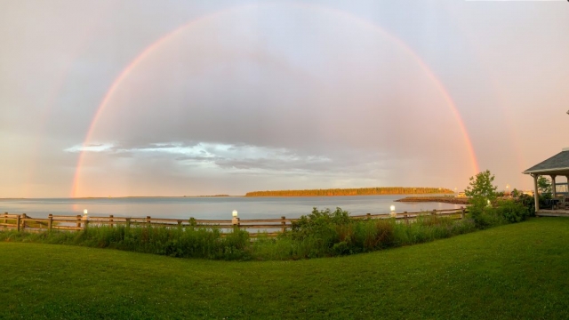
Just before the sun went down, we grabbed the bikes and headed on down to the Cavendish beach to catch the sunset.

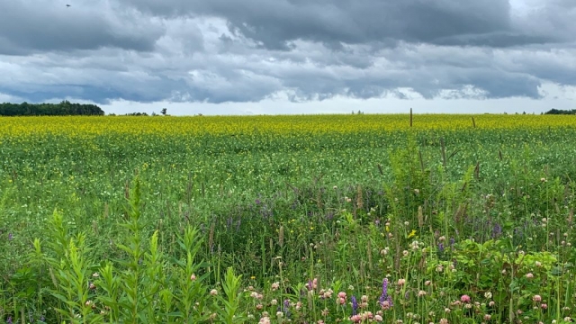
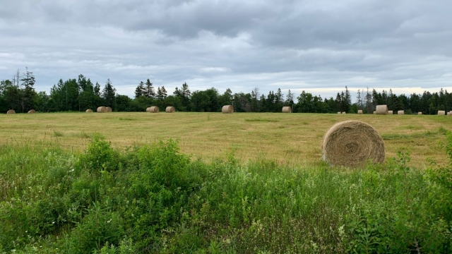
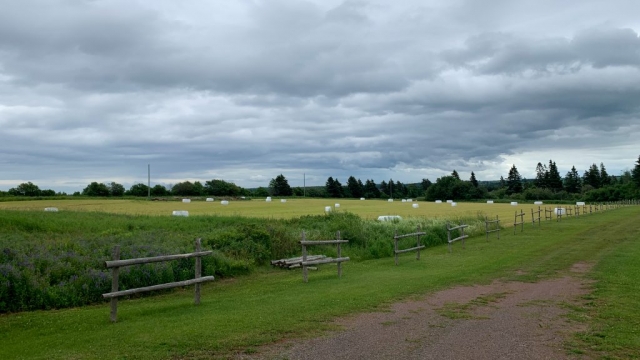
Pastoral Landscapes

Biking Day 2:
58.15 miles, 1265 ft ascent, 8 hrs. 9 min.
Daily Drena: Sore Bums

[Technical Note: You can now click on the photos and more easily view them in the galleries]

An early start to the day gets us up at 7:30am for a continental breakfast at the Northport Pier Inn. We run into the Freewheelers customers (a bike touring company) again, which consist of 3 older ladies doing a very similar route to our own, however, they are doing all Confederation Trail today down to Summerside, while we are taking a longer, but hopefully more scenic route along Route 12 (part of the North Cape Coastal Drive). The day looks sketchy, with grey clouds stretching to the horizon, so we toss on some long sleeves and get started.

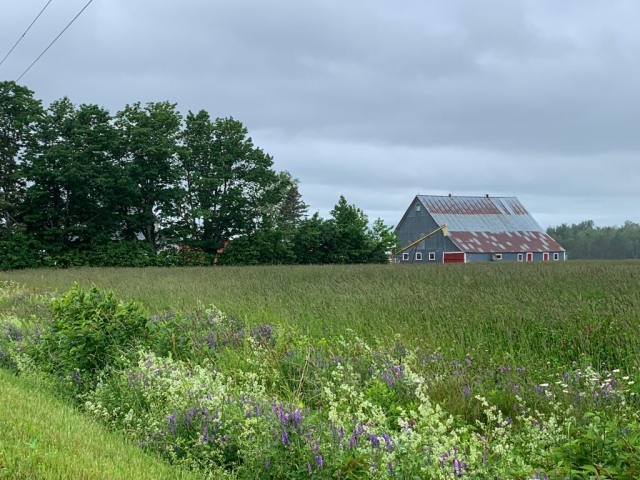
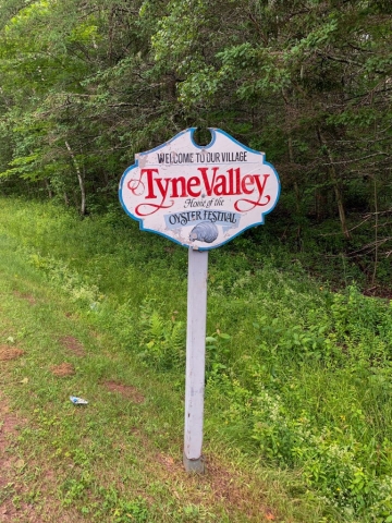
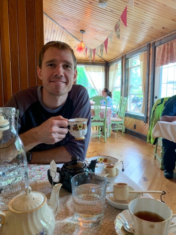
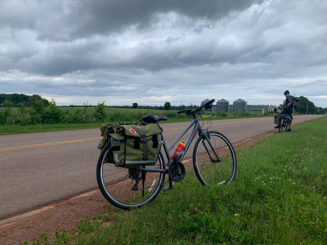
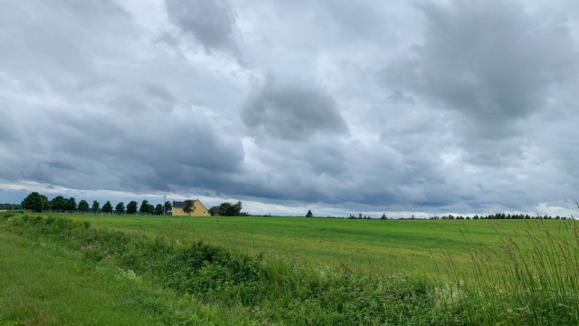
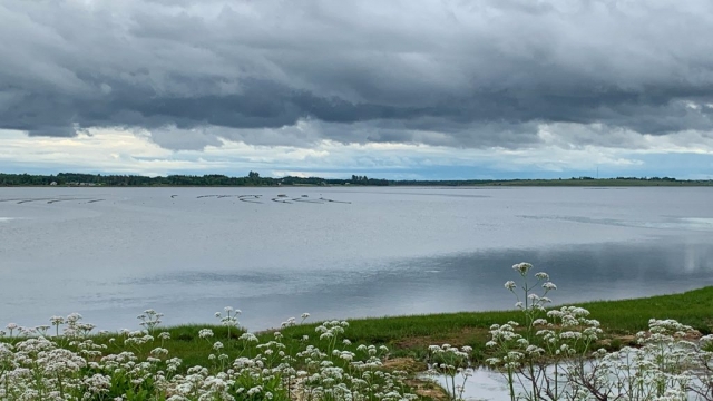
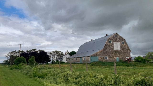
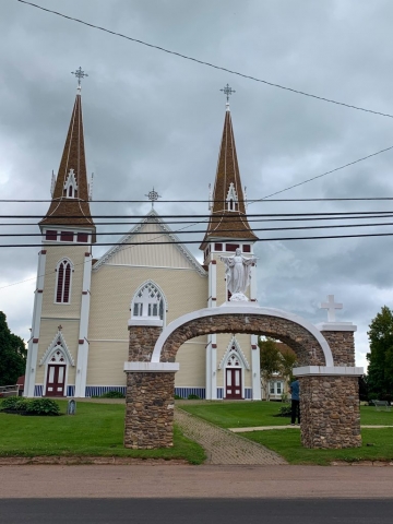
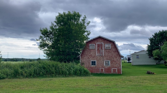
Unfortunately, about 10 minutes after we start the clouds start sending mist down from the skies. Stopped, this is perfectly fine as it is just a light mist that isn’t bothersome. But, when you’re riding along at 10-15mph it quickly becomes an all-enveloping globe of water that hits you from every which direction. Not looking like it is going to clear up, we toss on some rain jackets and continue along the way simply resigning ourselves to getting wet today. After about 30 minutes the mist stops and we begin the long process of drying out. The grey skies continue, but it’s the perfect temperature for a long bike ride. Along the way, we run into a group of 8-10 Aussies tooling along on road bikes along the same route as ourselves. We pass them, stop for a photo, then they pass us, etc. for the next 5-10 miles as we enjoy the pastoral landscapes and barns along the way. As we hit the main highway, we split off in directions as they continue down the highway while we take a “shortcut” to the Confederation Trail for a few miles to avoid the busy highway. As I look up from my GPS and to the road we are supposed to go on to get the trail, I shrug and dive headlong onto Percival Road which is about 1/2 mile long before connecting to the trail. Now, this *may* have been a road at some point, but it seems to me like it ceased qualifying for that terminology ages ago. The road starts as dirt but after 50 yards turns into grass, which then turns into two ruts of puddles and thigh-high weeds and wildflowers. Determined to see this through, I plow onward, checking back to ensure Lorena is still following and promptly send the bike into a rut puddle, barely maintaining control. I do not recommend this “road” for hybrid bikes with skinny tires after a lengthy amount of rain. We make it through though, take the brief stint along the Confederation Trail, then head back onto Route 12 to Tyne Valley where we stop at a quaint little tea shop for lunch.
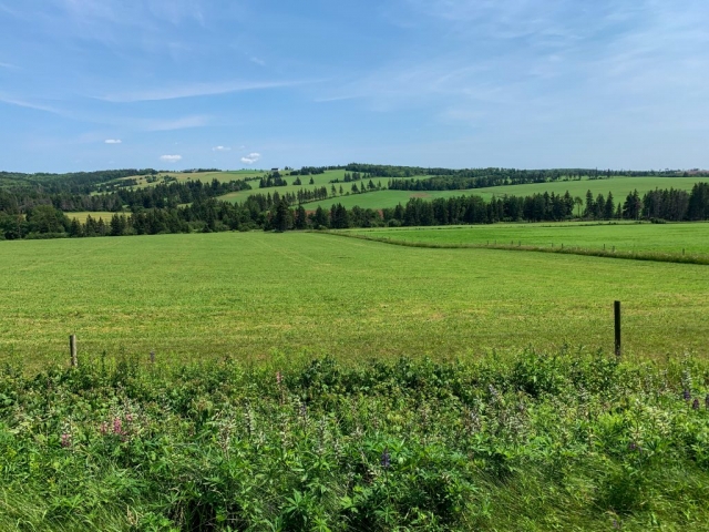
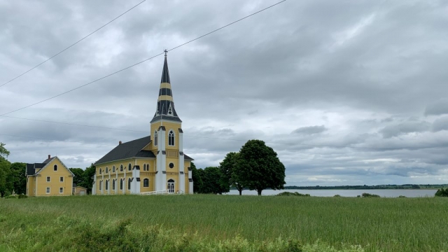
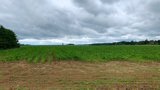
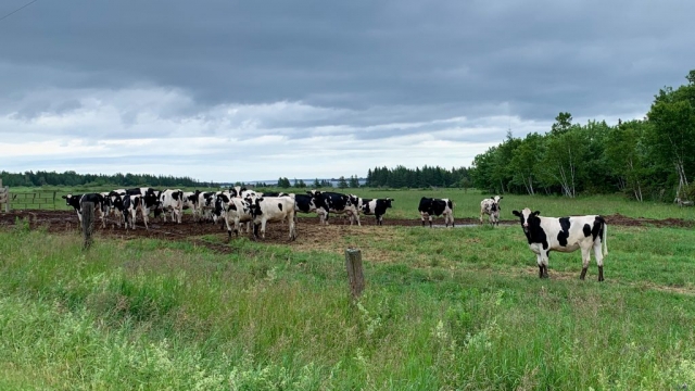
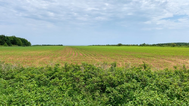
30 miles down, 30 miles to go … more pastoral landscapes, churches, and rolling fields of hay, corn, and potatoes on either side. We started to wonder after the miles rolled along though as to what the hay was actually for as we hadn’t seen a single sighting of any livestock to speak of. But finally after many miles we started transitioning from hay fields to farms with dairy and beef cattle.

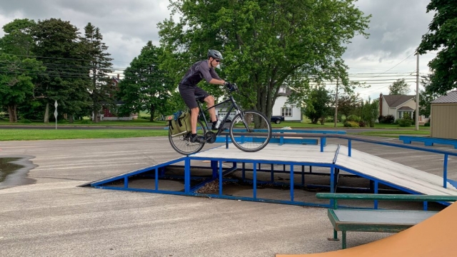
A quick stop in Miscouche to play around in the bike park – hey, you gotta if you’re on a bike! – then back on the Confederation Trail to the town of Summerside.

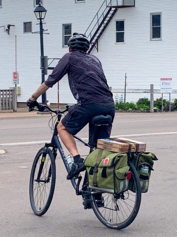
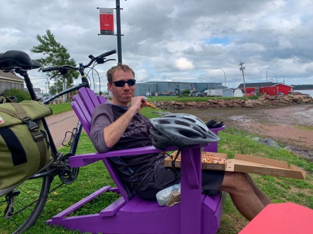
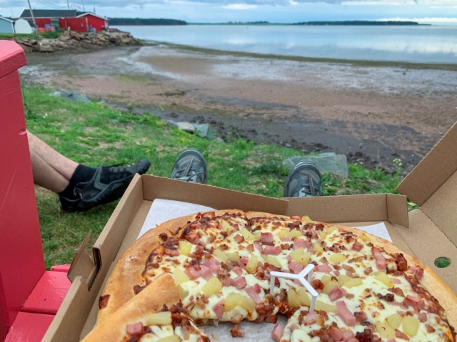
Arriving in Summerside, I let Lorena know that we need to go through town to get to our B&B for the night. With an expression of horror she asks about dinner and I let her know we will have to bike or walk back into town about a mile. Considering how sore our bums are by this point, this does not sound like a reasonable suggestion to her, so with a smirk on her face she says “What about pizza?”. Sounds good to me, so we stop in for some pizza and, kazaam, I am now a pizza deliveryman.
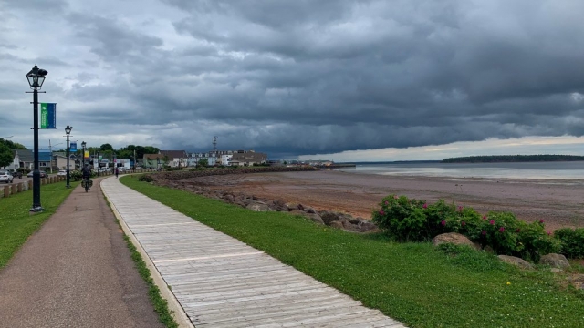
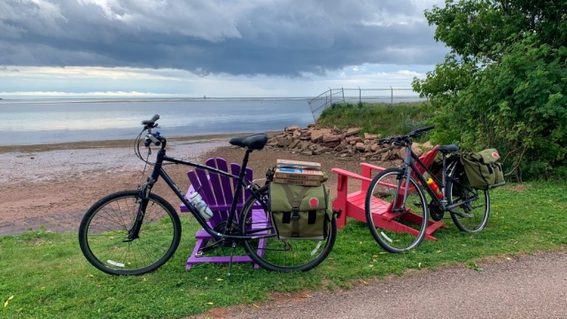
We find a nice little place to take a break along the waterfront in town and enjoy part of our meal because hey, why not!

While it was a pleasant time eating along the waterfront, after hanging out for about 15 minutes we get back on the bikes to head back into town. And we decide stopping to eat was a horrible idea as our butts and legs have locked up on us and we struggle to go 5mph for the next mile or two to our B&B for the night, but we make it at last! It’s only 5:30 or so, but after cleaning up, Lorena passes out on the bed and I shortly follow.

The Journey Begins

Biking Day 1:
25 miles, 794 ft ascent (egads!), 3 hrs. 56 min.
Daily Drena: The Easy Day

RING, RING, RING … the alarm goes off at 8:00am and I promptly hit it off. RING, RING, RING … it goes off again at 8:15am and I jump out of bed as breakfast is to be served at 8:30am and our shuttle to the northern tip of the island is to arrive at 9:30am. A quick shower later and a shout over to the dead asleep Lorena to wake up and we stumble our way over to the office area for a breakfast of yogurt with blueberries and strawberries, followed by some tea and bacon pancakes. We force ourselves to eat as our bodies are still on the 5:30am MST timeframe.

Finishing up breakfast, we have some extra time waiting for our shuttle, so Lorena wanders around and takes some photos of the property we couldn’t see in the dark while I finish packing up our panniers for the day.

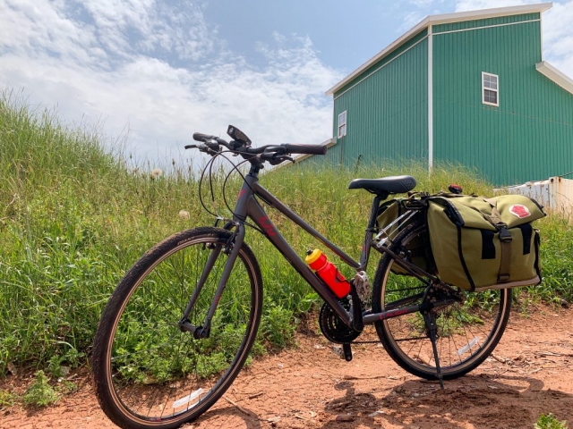
Our driver, George, arrives on time and we set up our new bikes for the week to our liking and put on the clipless pedals we brought from home. Everything seems like it’ll work, although the upright riding style of a hybrid bike is NOT going to be efficient … maybe we should have upgraded to the road bike option?

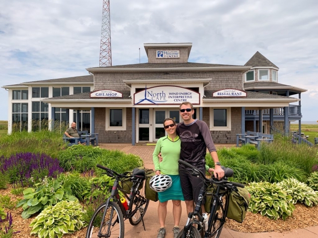
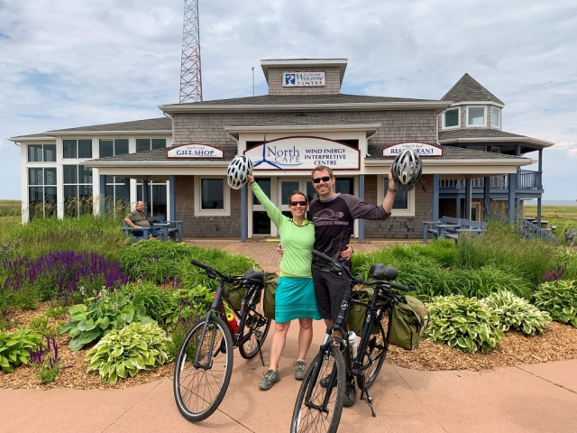
After a two hour drive up the northern tip of our island and many entertaining stories about other passengers George has driven around the island (rich Aspenites with no concept of money, a 5th generation Los Angeles man with a lost relative, seekers of lost history, …) and some local history (irish moss, potato barons, confederation forming …), we arrive at North Cape, the northernmost point of the island and the beginning of our journey.

Lorena popped her head into the gift shop while I finished up the final setting up of the bikes and came back with an ominous sign – they were heavily stocked with rain jackets and heavy duty sweatshirts! Hoping for the best, we took some photos and off we went.

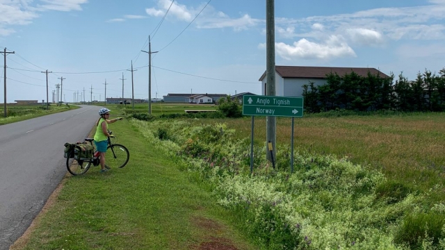
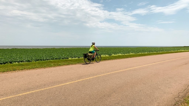
The first ten miles of our journey was just to get to the start of the Confederation Trail, so we took George’s advice and took scenic route 12 down the coast. It was good advice as, although there was no shoulder, the traffic was few and far between and it provided great views of the coastline.

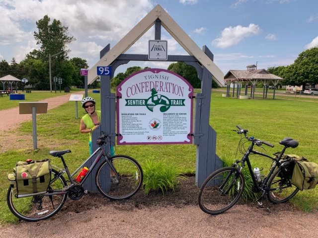
After 10 miles of road riding and a few more bike adjustments, we arrived in Tignish, the start of the Confederation Trail. We wandered through the tiny town, found a little hole in the wall to eat, then with storm clouds looming and thunder in the distance, took off along the Confederation Trail in an attempt to outrace the rain.

While we succeeded in our endeavor to outrace the rain (minus a few sun showers which just cooled us off), we were sorely disappointed in this vaunted Confederation trail everyone spoke about and understood George’s advice now. He had advised us to continue down scenic route 12 until we reached the next town of Alberton. However, due to curiosity about the trail and the looming storm clouds, we decided to take the trail instead. But after a few miles we were bored out of our minds as the gravel trail rolled on and on in a straight line, with trees to either side and nothing of note to pique our interest. But, we were stuck now as the scenic route and the trail didn’t have any real connectors between the two without adding substantial miles to the trip, so we rolled on …

… and 15 miles later we rolled into Alberton. Now, that’s not to say there wasn’t anything of note. Lorena decided with the sun coming back out from the clouds that we should make a quick stop and put on some sunscreen. Well, the stop was definitely quick as after maybe 30 seconds I took off with a mad swarm of mosquitos after me. Lorena shortly followed and with a dozen fresh bites between us and bloody trails down our arms from smashing skeeters, we decided we were going to do more road riding and less trail riding in the upcoming days.

A few more kilometers down the road and we were made it to the Northport Pier Inn, where we were staying for the evening. The concierge was entirely surprised to see us dry as a bone though, as another group of riders had apparently gotten drenched along the same route so we lucked out on our timing today!

We grabbed some showers, walked around town a little (which took about 5 minutes…), and then headed off to eat dinner next door and plan for the next day. Our average speed ended up being 6.4mph, so we need to either lighten our loads or not stop as much, as we have 60 miles to go tomorrow…